The Rhone rises in Switzerland, in the Saint-Gotthard Massif. It has its source at the Rhone Glacier, at an altitude of approximately 1 753 metres, and runs from there through the Valley of the Helvetii, Lake Geneva and the Southeast of France, to its mouth on the Mediterranean Sea. It is 812 km long and is the most powerful river in the country. It meets 9 different tributaries in the French territory : the Arve, the Fier, the Ain, The Saône, the Isère, the Drôme, the Ardèche, the Durance and the Gard, all potential sources of pollution.
It all started in late 2005, when a commercial fisherman had his catches from the Rhone analysed. To his great surprise, the level of PCB was 40 times higher than the norm. Public authorities therefore took the necessary measures to prohibit the consumption of fish from the river.
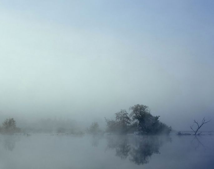
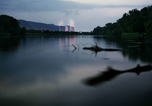
PCB pollution is invisible: there is no blackish mud, no discoloured water, no dead fish. But, where do those polluting chemicals come from ? What is the extent of the pollution ? What are the consequences of this pollution ? Who is to be held responsible for it ? This series intends to show through images the underlying danger and poisoning. A sensation, an atmosphere, a visual porosity… ‘What ever happened to the Rhone’ is a slow-paced story; pictures have been taken with a view camera and their strength lies in the choices of framing and light.