As of November 8, the CAUE92 gallery presents a selection of archival documents accompanied by contemporary photographic works in SURVOLS, its new exhibition devoted to aerial photography of cities.
Spectacular, documentary, promotional or critical, aerial photography has constantly informed cities and inspired their design. This pioneering technique has contaminated art, participated in the conquest of space, took part in wars, contributed to archaeological and geographical studies, and accompanied the urban future of the planet.
Presented by the CAUE92 gallery, the exhibition SURVOLS retraces the evolution of techniques and uses of aerial photography from the very first, taken by Nadar in 1858 above Petit-Clamart, to the satellite images and the democratization of this tool by Google Earth. Subject of a popular craze, she is renewed with the drones and Google Earth, and acquires today a place of her own in contemporary photography.
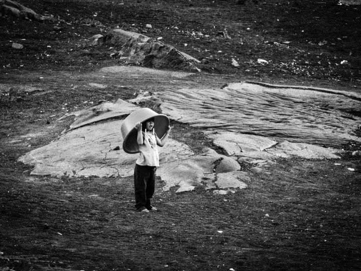
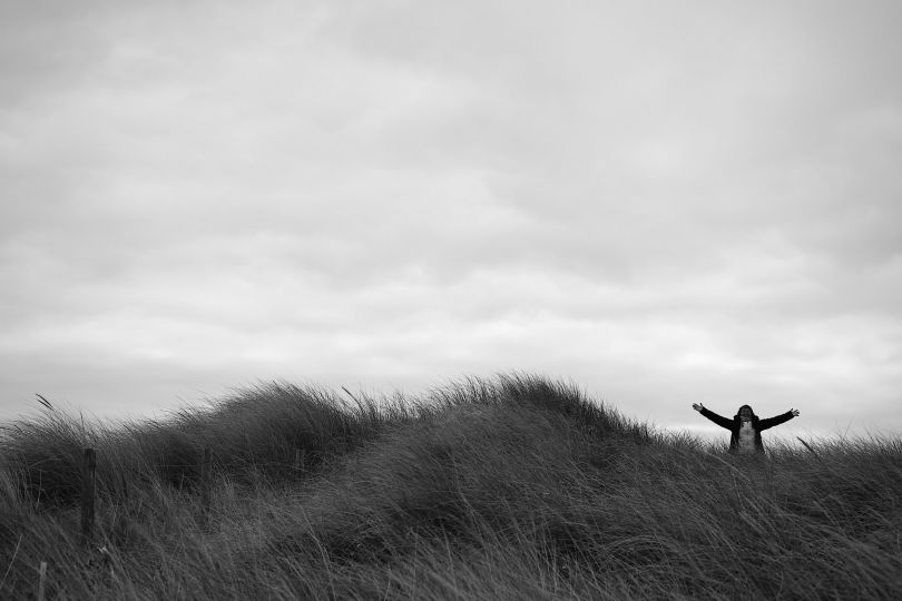
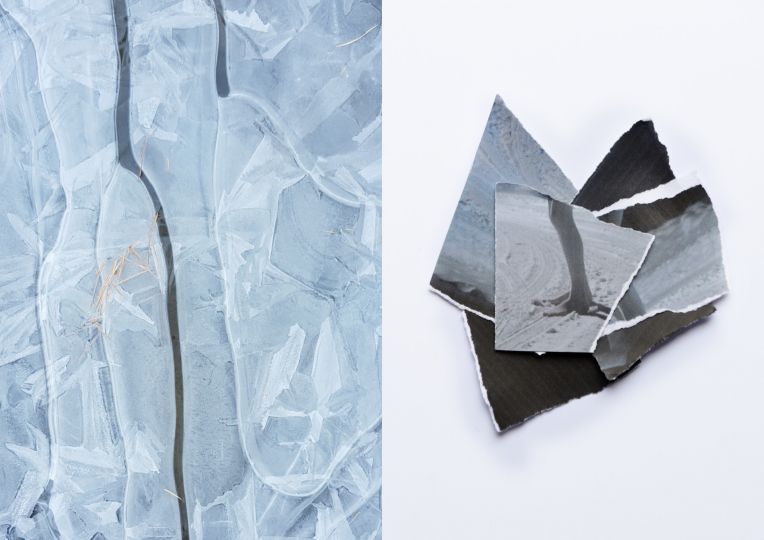
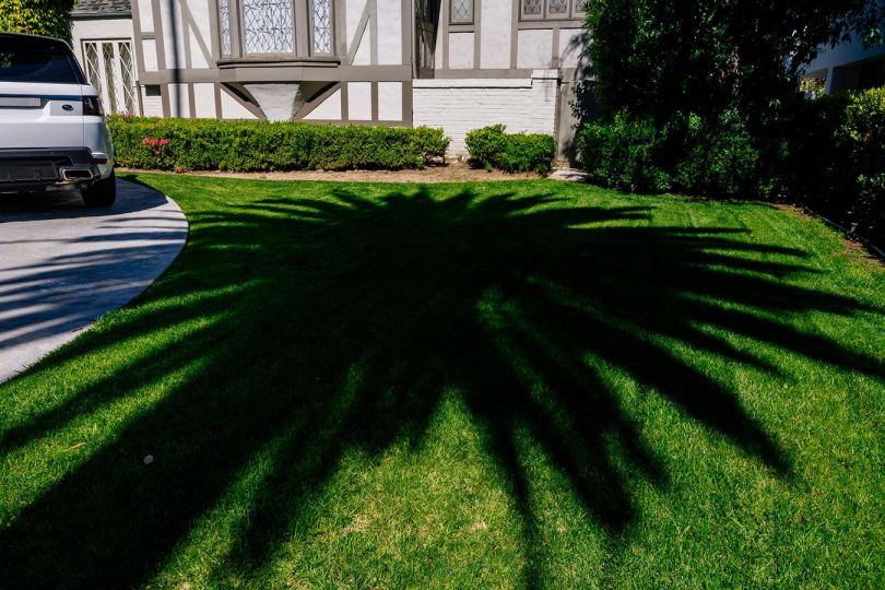
The exhibition SURVOLS is developed in two parts. The first, thematic, is based on a rich body of archival documents to trace the different uses of aerial photography and what it gives to see of the city (destroyed city, exhumed, repaired …). The second part presents a selection of works by contemporary authors, direct heirs of Berenice Abbott or René Burri, playing with the distinctive feature , virtues or excesses of aerial photography to offer a new look at the territory.
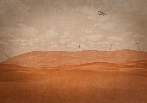
“What a tidy world – 3,000 METERS. Neatly in the box The Sheep pen. houses, water channels, roads, men’s toys, world subdivided , square world where each field touches its hedge,the park its wall […] World in a shop window, too exposed, too spread out, towns in order on the rolled map, that a slow earth carries to it with the safety of a tide”.
Antoine de Saint-Exupery, Courrier Sud, 1929.
AERIAL PHOTOGRAPHY OF CITIES
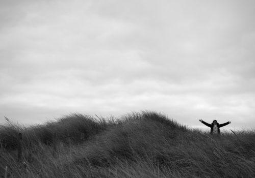
The development of light drone shooting technology reactivates our age-old fantasy of flight and aerial vision, the utopian figure of a peaceful and orderly land that Saint-Exupéry accurately described in Courrier Sud. The success of Google Earth underlines a resurgence of interest notorious for aerial imagery. What riches, what mysteries and what powers the overhanging gaze and the flying over the world provide us? A reversal of perspective, a new experience of space freed from physical constraints, a capacity for surveillance, analysis and mapping of cities, a source of escape or understanding of the world?
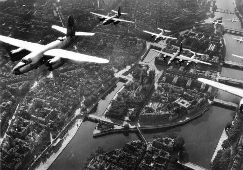
The view from the sky starting in the twentieth century is all that at once. It permeates art, informs wars and space conquest, human exoduses, the extension of cities and their design. It supports archaeological studies, decrypts our territories and their ecosystems and accompanies the great reversal of the twentieth century: the urban future of the planet. The exhibition analyzes this “seesaw” which, from the twentieth century, in architecture and urbanism, accompanies the thought, the practice, the representations, but also the art of building cities. An art revolutionized by Gaspard-Félix Tournachon, alias Nadar, when he made from a blimp in 1858, 80 meters above Petit-Clamart, the first aerial photograph.
PROOF, REMINDER AND FINDING
At the intersection of three techniques or disciplines – aeronautics, photography, urbanism – aerial photography prospered and evolved constantly, driven by the technical progress of flying and photographic devices, the expansion of cities and military intelligence needs. Its two major shapes, the vertical view and the oblique view, clearly distinguish it from the panoramic views. The first, taken perpendicular to the ground, will be used to draw maps of the territory integrating the relief through stereophotography. The images are then assembled to form a portion of territory, establishing collage as a common practice of aerial view. Not being able to claim this accuracy, the oblique view is going to be a way to apprehend and read differently the urban or natural space. More than height, it is the direction of gaze that defines the oblique view, which can be realized from a hill, a bell tower, etc.
Documentary par excellence, the aerial view became a tool put at the service of the exploration of the territory in its many aspects. It follows mainly three modalities that could be described as follows. First, the state of a territory, used to evaluate the effects of a natural disaster or aggression – the destruction caused by a bombing or a battle. We could then talk about survey photography, which aims to reveal hidden elements in a territory. This is typically the case of war photography. There is also a photography that could be described as identity, which serves to delimit the contours of an urban object – an old city, a building, – the “background photography”, on which we identify and describe the components of a landscape. It restores and makes the portrait of a city. Carried out in the context of campaigns led by private companies or public institutions, these images may be restricted to a technical service or extended to a very wide audience.
CAMERA EXPLORES TIME
Flying over the city, aerial photography explores three temporalities: the present time, giving the image of a territory at the T moment. It also explores, unexpectedly, time past and ancient civilizations. From the 1920s, airmen put aerial photography to the service of archeology. The aerial discovery of ancient vestiges, revealed by differences in soil dampness and development techniques, continues today. A true exponent of urban fabrics, aerial photography is a prime piece of evidence for anyone who calls for radical changes in the city. “The plane is accusing! He accuses the city! He accuses those who drive the city! We now have, with the plane, the evidence recorded by the photographic plate that we are right to want to change the things of architecture and urbanism. Everyone will have recognized Le Corbusier here as the Attorney General.
Solutions to these supposed urban ills will often be presented as photomontages in aerial views, or as a model reminiscent of this vision. Today, while the aerial view has become commonplace, its use, for everyday use, by urban planners and architects is less demonstrative: the aerial view is used to present a site, criticize the insertion of a project. As for the views of the past, they can be used to show the evolution of a territory through time, showing its stages of growth , its upheavals, its destruction and its reconstructions. A confrontation that interests both architects and the general public, as evidenced by numerous books proposing aerial views “before” and “after”.
In this spirit, a first part of the exhibition restores the appearance of the Hauts de Seine territory since the 1920s, well before the creation of the department.
GEOGRAPHY, SOCIOLOGY, ENVIRONMENT
Working on large scales, geographers naturally took an interest in aerial imagery, to illustrate Atlases or to pursue research, or even fill in blanks on the map. Focusing first on physical geography and the study of reliefs, they gradually turned their attention to human geography and anthropology, leading to environmental questions that come across aerial photography from the 70s. The ascent of the camera, which reaches the stratosphere and altitudes of 900 km above the earth’s crust, the view of the earth as a blue planet carried out by the Apollo mission 17 awakens an environmental consciousness that translates, in aerial photography to lower altitude, between 100 and 500 meters, by the denunciation of the urban sprawl, pollution, the consumerist way of life.
FROM DOCUMENTARY TO DOCUMENTARY STYLE
Drones give access to the airspace, allowing any photographer to be an helicopter pilot. Despite restrictions on air traffic control, the drone renews the aerial image of the city by allowing unprecedented proximity to the buildings, an immersion in the bowels of the city unachievable with other flying objects.
With or without a drone, aerial photography changes the relationship to the city, using different ranges of techniques to make unprecedented remarks about the urban: reintroduction of the human with the use of the effect Scheimpflug, producing a blur effect taking the city back to a model, a digital intervention accentuating the hidden effects of perception, the use of the aesthetics of the surveillance camera. Adopting the style of the documentary, this aerial photograph of the city does not speak so much of the urban space but of the contemporary society, its relation with surveillance, with what is private, the place of human in an artificialized universe, to question our perception the real, question what is seen or hidden, even introduce a political dimension peculiar to photojournalism previously absent from aerial photography, etc. A new avatar of aerial photography and a new page in its history, which does not prejudge in any way the future of this medium.
Olivier Namias.
SURVOLS / OVERFILGHTS
November 8, 2018 – March 2, 2019
CAUE92 – THE GALLERY
CONSEIL D’ARCHITECTURE OF URBANISM & THE ENVIRONMENT OF HAUTS-DE-SEINE
9 Nelson Mandela Square
92,000 Nanterre
01 71 04 52 49